Baseline surveys are undertaken prior to the commencement of a new development. They focus on defining the pre-existing environmental and social setting, within the immediate vicinity of the proposed Project as well as the surrounding landscape (Wilson J. 2017). Several types of data collection methods can be used such as quantitative field data, stakeholder consultation and the synthesis of information from secondary sources (UN WOMEN 2011).
 Baseline information is a significant part of any Environmental Impact Assessment (EIA) process. It provides the basis for impact evaluation, mitigation measures and assessment of alternative options (Ahmand 1985). Where a development could have significant impacts on Environment or Human health, Project Developers are required to refer the activities to the Environmental Protection Authority (EPA) under Part IV of the WA Environmental Protection Act 1986 (Environmental Protection Authority 2016). Depending on the location and type of development there may also be a need to refer the development under the Commonwealth Environment Protection and Biodiversity Conservation Act 1999.
The WA EPA has published a range of technical guidelines on undertaking baseline studies relating to flora and vegetation, terrestrial and subterranean fauna, inland waters and terrestrial environmental quality. These guidelines outline the minimum standards that Project Developers are required to adopt as part of a successful EIA submission. The guidelines on biological aspects touch on survey design, specimen identification and lodgement, standardized definitions, nomenclature, analysis and reporting standards. This helps improving consistency, comparability and quality of submissions to ensure the decision for approvals are based on relevant information.
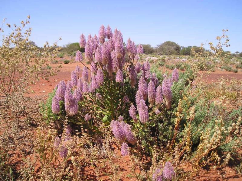
Flora and Vegetation Surveys
To understand the flora and vegetation characteristic of an area the Western Australian Environmental Protection Authority (2016) suggest that information can be gathered from undertaking desktop studies and field surveys.
 A wide literature search on all available information on the target area, usually at the locality scale, will typically be the start point for designing the field surveys. The guidelines suggest databases that can be used to locate existing surveys, literature and spatial information on the development area.
Reconnaissance surveys involve low-intensity sampling at a locality scale and are best suited where flora and vegetation values are well defined, the area is not likely to support significant flora or vegetation, and the scale and nature of potential impacts are not likely to be significant. Reconnaissance surveys can be used to verify information gathered in the desktop and determine if more detailed information is required.
Where data is insufficient or lacking, targeted surveys should be performed to determine the size and extent of all significant flora populations or vegetation in the survey area and any potential impacts that have not been previously identified. Multiple surveys may be undertaken to account for spatial and temporal variation and should occur in all potentially suitable habitats, including where the habitat extends outside the predefined survey area.
 Detailed surveys should be undertaken in areas that support a high diversity of flora or vegetation, restricted landforms or vegetation units, significant flora or vegetation, regions that have been subject to minimal survey effort, or if the scale and nature of the potential impacts are likely to be significant. Multiple surveys will typically be carried out over multiple seasons to acquire adequate knowledge on both a local and regional context.
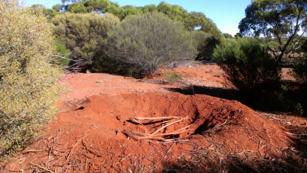
Terrestrial Fauna Surveys
Two levels of fauna assessment surveys are outlined in the guidance document by the EPA (2016) , in which the sampling design differs in scope and detail. The EPA has provided a scale of impact depending on the nature and extent of disturbance on the area characteristic. These results have then been tabulated in a matrix against the sensitivity of the environments, which are based on bioregion groups outlined by the EPA. From these results, proponents can determine the level of terrestrial fauna and faunal assemblage surveying they should adopt.
 Level 1 surveys involve an initial desktop study followed by a reconnaissance survey to verify the accuracy of previous studies and further delineate and characterise fauna and faunal assemblages at the site. Information collected during this stage can determine whether further assessment needs to be conducted.
Level 2 surveys build on these first two components, performing multiple surveys over each season to account for temporal variation. The surveys under level 2 are more detailed and comprehensive than their level 1 counterpart, providing more knowledge on the local context.
Subterranean Fauna Surveys
As outlined in EPA guidance document (2016), there can be high species richness of subterranean fauna occurring in most regions of the State, with a strong association to microhabitats that provide air-filled voids or cavities and aquifers that are not hypersaline. Where suitable groundwater and geology are identified and where the likely degree of impact is high a formal assessment should be undertaken.
There are two levels of subterranean fauna surveys, the first of which consists of a desktop study and a reconnaissance survey with selective, low-intensity sampling to verify previous studies and level 2 surveys, which are more comprehensive, involving repeated sampling. Target sampling in areas where data are limited allows faunal values of the proposed area to be realized. Examples of type and degree of impacts as well as a likelihood matrix for supportive habitat have been included in the guideline to assist in deciding which level of survey is necessary.
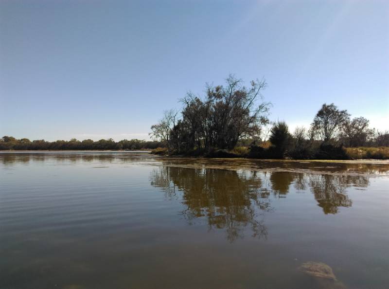
Inland Waters
The EPA (2018) defines inland water as both surface and groundwater, including bodies of water that are not permanent and those that have been artificially modified. The EPA (2018) recognise that the hydrological regimes of inland waters play a fundamental role in maintaining healthy ecosystems and dependent environmental and social values. This includes the ability to sustain vegetation, fauna and associated ecological processes as well as providing areas for recreation, cultural practices and the use of water for drinking, agriculture and industry. Potential impacts to water quality and the hydrological regime include, but are not limited to waste discharge, water extraction and surrounding land-use.
 In order to minimise the consequences to this factor and supported values, the EPA requires Project developers to submit an initial survey on the surface and groundwater systems as well as the supported environmental values. The intended uses of water and characterisation of waste type and quantity, disposal methods and potential contamination pathways need to be identified so that the likely impacts of water use and changing water quality can be modelled. The option identified as most suitable for maintaining ecological integrity should be attached with a description of how monitoring, mitigation, management, closure and rehabilitation of the site will be undertaken along with an adaptive management plan in the instance where predictions are incorrect. The EPA has highlighted common issues observed in EIA submissions and provided suggestions and further considerations to guide proponents in addressing the factor inland waters.
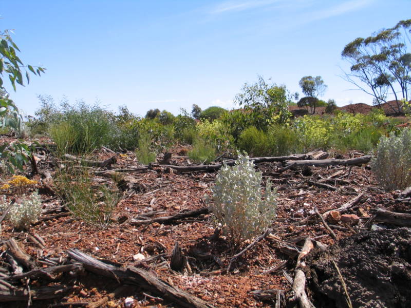
Terrestrial Environmental Quality
The EPA (2016) acknowledges the importance of maintaining the quality of land and soils, as they are a fundamental component in supporting ecological and social values. This includes protection of biodiversity and water quality and beneficial uses such as agriculture, recreation and cultural values. Potential impacts of development activities, for example, clearing deep-rooted native veg, excessive irrigation and waste disposal have the potential to impact the quality of soil and interrupt the services they provide.
 To mitigate negative consequences on land and soil during development, the EPA requires a baseline study on soil quality to be undertaken, including current classification of site contamination and acid sulphate risk. The chemical and physical characterisation of waste materials should be submitted along with mitigation, management and rehabilitation strategies to deal with local and catchment issues that may arise. Considerations and suggestions for addressing common issues observed by the EPA have been included in the guidance document.
Other surveys and studies
The above is just an overview of the five key surveys that will typically need to be completed, remember new development may also need to undertake archaeological heritage surveys, short-range endemic invertebrate surveys, ground and surface water assessment and characterisation studies of waste stream and emission so they can be effectively managed during operations and closure.
ISPL Capabilities
Integrate sustainability has the experience, knowledge and necessary resources to manage and coordinate baseline environmental surveys, including day-to-day liaison with survey providers, progress reviews and report appraisal. ISPL offer a range of other services related to environmental impact assessments including project scoping and feasibility studies, developing and implementing monitoring activities and GIS capabilities. If your business needs assistance in these areas, the team at Integrate Sustainability are committed to helping you achieve high quality, practical and cost-effective environmental outcomes.
Download PDF: ISPL Insight – Baseline Surveys
References
Ahmand, Y.J., Sammy, G.K. Guidelines to environmental impact assessment in developing countries. London: Hodder and Stroughton, 1985.
Environmental Protection Agency. Environmental Factor Guideline: Inland Waters. Factor Guideline, Department of Water and Environmental Regulation, Western Australia: EPA, 2018.
Environmental Protection Agency. Technical guidance- Flora and Vegetation Surveys for Environmental Impact Assessment. Guidance documents, Western Australia: EPA, 2016.
Environmental Protection Agency. Technical guidance-Subterranean fauna survey . Guidance document, Western Australia: EPA, 2016.
Environmental Protection Agency. Technical Guidance-Subterranean fauna survey. Guidance documents, Western Australia: EPA, 2016.
Environmental Protection Authority. Environmental Impact Assessment (Part IV Divisions 1 and 2) Procedures Manual 2016. Manual, Western Australia: EPA, 2016.
Environmental Protection Authority. Environmental Factor Guideline: Terrestrial Environmental Quality. Factor Guideline, Perth, Western Australia: EPA, 2016.
Environmental Protection Authority. Technical guidance- Terrestrial Fauna Surveys. Technical guidance documents, Western Australia: EPA, 2016.
UN WOMEN. Baseline Studies. December 20, 2011. http://www.endvawnow.org/en/articles/959-baseline-studies.html (accessed May 1, 2019).
Wilson J., Hinz, S., Coston-Guarini, J., Maze, C., Guarini, J., Chauvaud, L. “System-based Assessments- Improving the Confidence in the EIA Process.” Environments, 2017: 4.