by Rafael Louzeiro – GIS/Environmental Specialist | Jun 3, 2021 | Technology
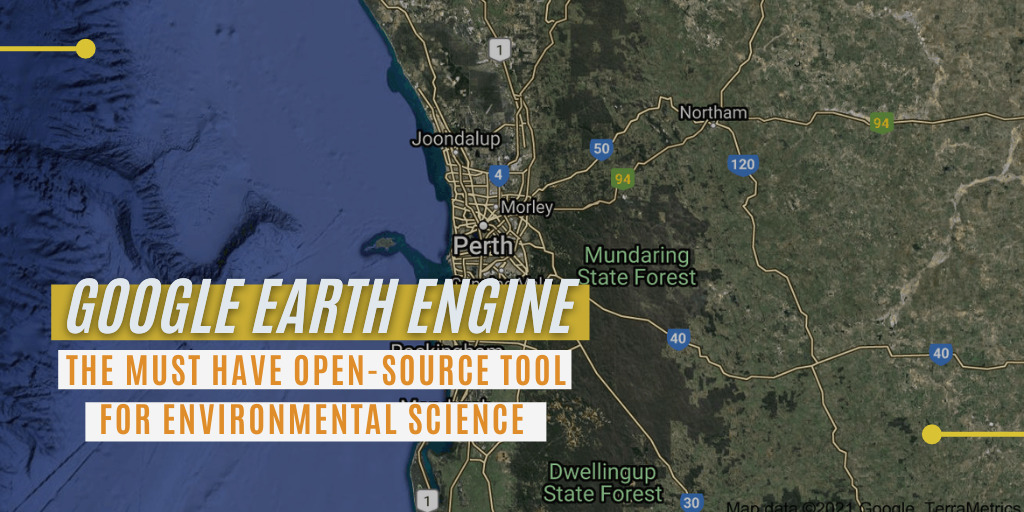
Remote sensing (RS) is the collection of physical characteristics of an area based on measuring radiation and reflection from a distance, such as an aircraft, drones and satellites (USGS 2020). RS datasets have been collected from satellites for decades with much of...

by Rafael Louzeiro – GIS Environmental Specialist | Sep 2, 2020 | Technology
As Peter Drucker said, “If You can’t measure it, you can’t improve it”. There can be significant challenges when managing environmental changes and impacts, such as monitoring and generating reliable and real-time environmental data, so taking corrective...


